When do I need a Surveyor?

You should contact a Surveyor:

  • When buying property
  • When refinancing your home or applying for a mortgage
  • Before enlarging your house with additions or making permanent improvements to your property (fences, driveways, swimming pools, etc.)
  • When subdividing property or selling individual lots

Types of Surveys

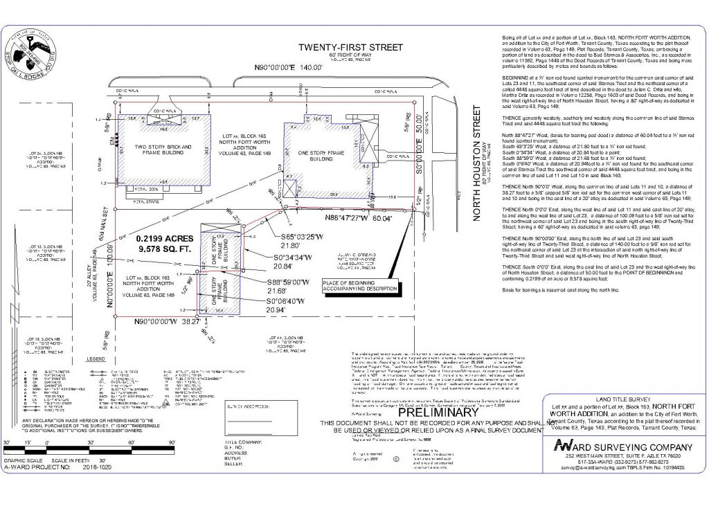
Land Title

A Land Title Survey is a survey made for lending or insuring agencies for the transfer of property ownership or to evaluate title problems, if any, relating to actual occupation and possession. Typically commercial land title survey are ALTA (American Land Title Association) and residential land title surveys are TSPLS (Texas Society of Professional Land Surveyors) Category 1A, Condition II.

The survey can be used to show a property’s boundary lines, improvements, easements as well as any encroachments or other “exceptions to title”. The map is similar to a topographic or architectural topographic map, but is completed to the A.L.T.A. standards and is certified to the property owner and lender.


Boundary

A boundary survey is used to establish or reestablish property boundary lines upon the ground or to obtain data for making a map showing boundary lines. We determine this based on recorded maps, deeds, and monuments. Once boundary lines are established, monuments will be set to mark your property corners and you will be provided a map showing your property lines.

These types of surveys include residential lots, commercial property and large tracts.

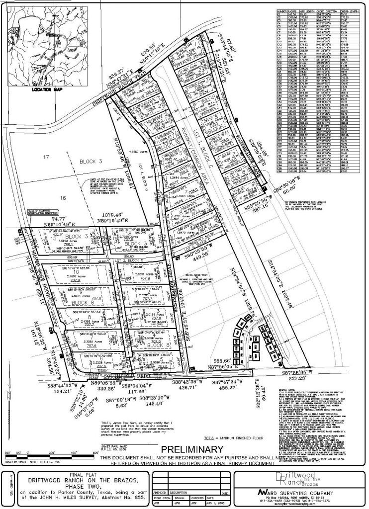
Subdivision

Land Subdivision is the division of land into individual lots. Typically they will include the layout of lots and the associated public or private right-of-ways and easements.  They are approved by the local governing agency and filed for recorded at the County Clerks Office. We can help you with the process of determining the number of lots you are permitted to create, the size and orientation of those lots, the access required for each lot and other important steps required to get a land subdivision approved. 


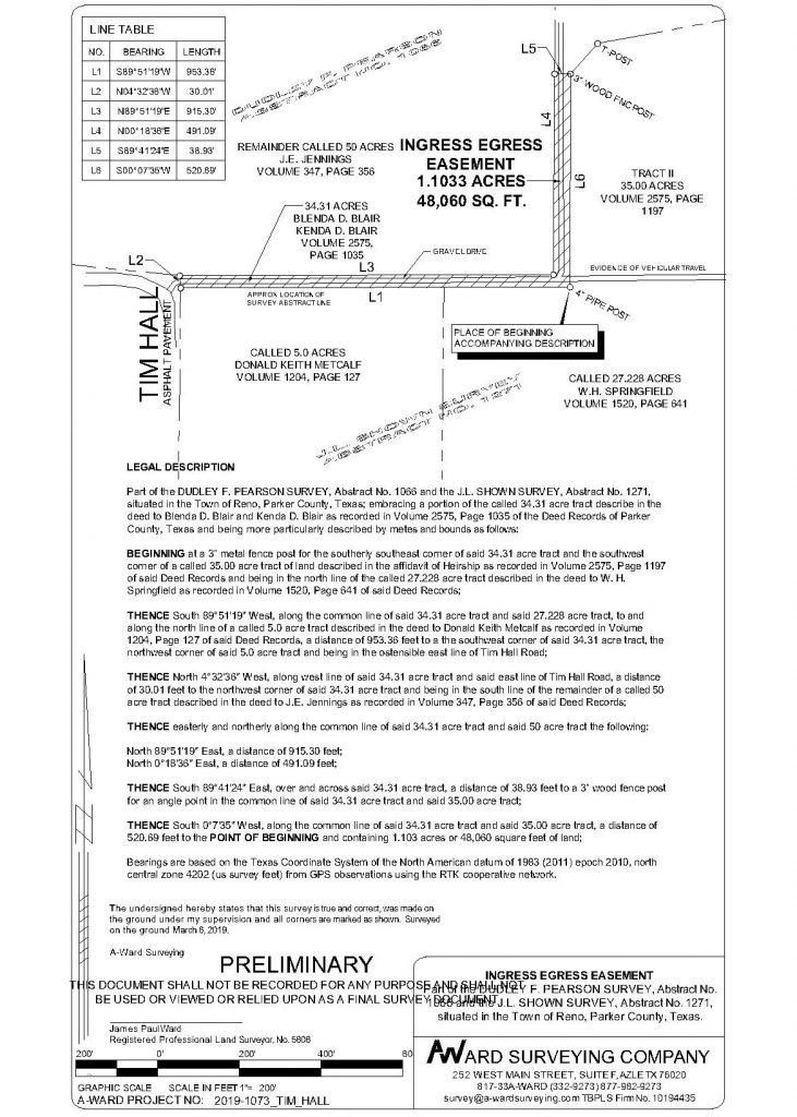
Exhibits

Exhibits can be for many things:

  • Easement
  • Roadways agreements
  • Encroachments
  • Court cases
  • etc…

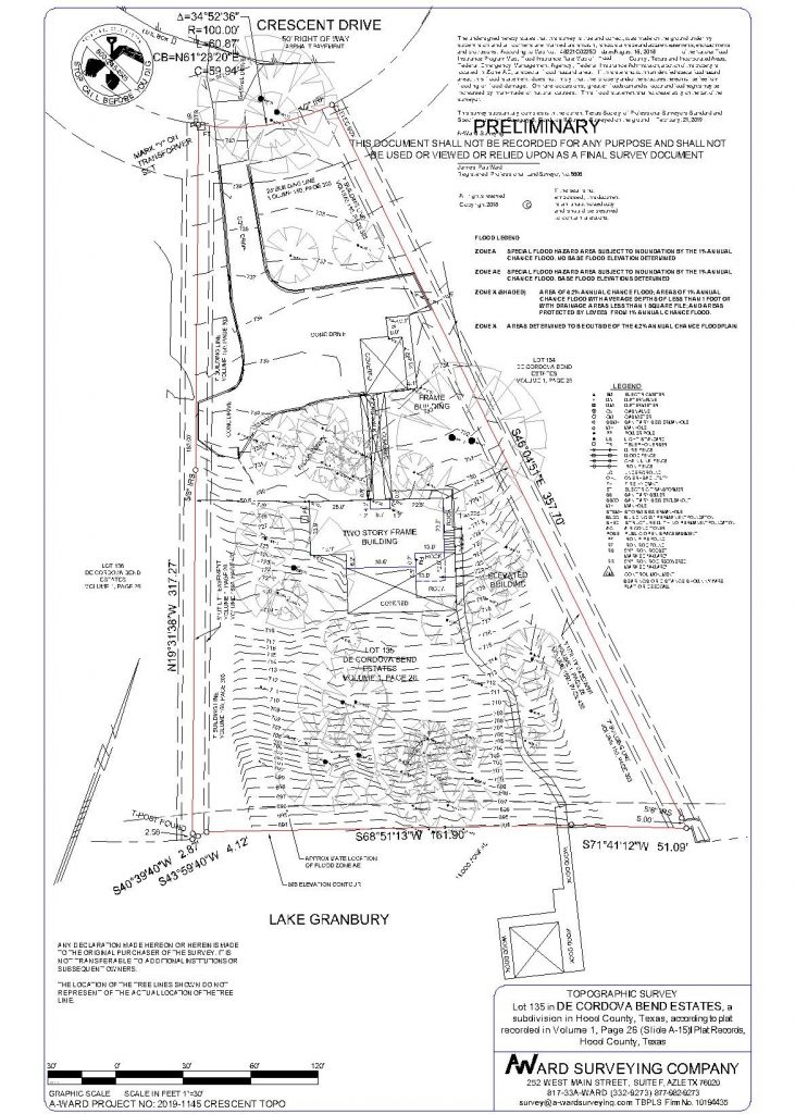
Topographic

A Topographic Survey is a type of survey which depicts the configuration (relief) of the earth’s surface (ground) and the location of natural and artificial objects thereon. They are generally used by engineers for designing of construction plans. The final product is a map showing any fences, walls, buildings, sheds, driveways, streets, curbs & sidewalks, pools & patios, walkways, stairs-utilities and trees on the property. It will also show elevation references and natural features including ground contours.


Drone Surveys

Aerial Survey Drones have revolutionized surveying and mapping by offering an accurate, flexible data collection solution that dramatically cuts costs and significantly increases safety and eliminate risks.